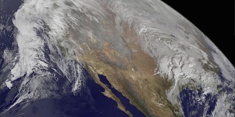
This Is What Winter Storm Jonas Looks Like From Space (Video)
If you live between, oh, Tennessee and New Jersey, you're probably not too interested in what Winter Storm Jonas looks like from space since you're, you know, in it.
But for the rest of us: It's freaking awesome.
This video, released by NASA, shows the epic storm moving up the coast between January 20 and 22. Taken by the National Oceanic and Atmospheric Administration's GOES-East satellite, the footage affords a pretty cool perspective of the weather event — and makes me feel really, really small.
Though from space, the historical blizzard doesn't look that massive, it is. Over 100 million people are set to be hit by snow as the storm moves north, with some places (including Washington, DC) expecting up to 30 inches — nearly three feet! — of snow.
Makes you kind of wish for global warming, doesn't it?
Check out the video below (and if you need to distract yourself from the wintery hell, we've got you covered).
Citations: This is what the East Coast blizzard looks like from space (Mashable)