Here's Where The Fires In Australia Really Are
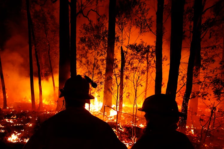
An early start to its annual fire season, coupled with record-breaking summer heat, have caused bushfires to burn across Australia for months. Since October 2019, the country's fires have destroyed thousands of homes, killed at least 25 people, and burned millions of land acres, per The New York Times. But where the Australian bushfires are now is — all over the place. The Australian fires are scattered across multiple regions, with New South Wales, in the southeast of the country, experiencing its worst fire season in two decades.
According to CNN, there have been bushfires in every Australian state since the fire season experienced an early start in September 2019. Australia experiences bushfires every summer, CNN reported, due to the scorching heat and dry weather. But the fires are hitting the country particularly hard this year because of record-breaking temperatures, strong winds, and the worst drought Australia has seen in decades. Climate change has also amplified the effects of natural disasters like fires and floods, especially due to extreme weather conditions. New South Wales, the Australian state where Sydney is located, has been the hardest hit by these fires.
At least 19 fatalities have been reported in New South Wales during this fire season, per NPR, with additional fatalities in Victoria — where Melbourne is located — and South Australia. On Monday, Jan. 6, officials in New South Wales announced there were 136 fires raging across the state, NPR reported, of which 69 were still not contained. Officials predict the fires could continue for months to come, and the toll they will take on humans and ecosystems and alike will continue to be devastating.
Fires continue to burn up and down the coast of New South Wales and Victoria, affecting national parks like Wollemi and the Blue Mountains. However, some viral maps and images of the fires may be misleading, per the BBC. One map, which showed a month's worth of fire data, was mislabeled and shared as if it showed fires actively burning, making the fires look even worse than they are. Another showed not actual fires, but "heat sources," which could represent anything from the bushfires to furnaces. So when you're looking at maps of the Australia fires, check whether they're depicting actual fires, and not other data.
In the Australian capital of Canberra, as well as in Sydney and Melbourne, the air quality has been significantly impacted due to smoke from the bushfires. According to The New York Times, thousands of tourists and residents have had to evacuate in New South Wales and Victoria — and in some cases, they were able to evacuate just before the fire reached them.
In the Victorian town of Mallacoota, residents headed to the beach on Dec. 31 to evade the fire, and remained there until they were rescued by the Australian navy. In New South Wales, bushfires devastated the town of Balmoral — southwest of Sydney — and most of the town's 400 residents evacuated.
At the same time, the Australian fires have also ravaged the country's delicate and diverse ecosystems. Ecologists at the University of Sydney announced in a statement that nearly half a billion animals had been killed in New South Wales alone since the fire season started in September, and many more in other states impacted by the fires. As a result, Australia currently has "the highest rate of species lost of any area in the world," the ecologists said, and the animal death rate across Australia could be as high as one billion. If you're looking for ways you can contribute, Elite Daily rounded up a few ways you can help Australian wildlife.