Winter 2018 Will Probably Be Warmer Than Usual, So Don’t Break Out Those Parkas Yet
It's October in the Northeast, which means two things: Pumpkin Spice is everywhere and the countdown to winter is on. But, before you bust out your parka and mittens, check out the forecast for the season ahead. According to the National Oceanic and Atmospheric Administration's (NOAA) U.S. Winter Outlook, winter 2018 will probably be warmer than usual.
The outlook, released on Oct. 19, reports that the southern two-thirds of the continental U.S., the East Coast, northern Alaska, and Hawaii could all see warmer conditions than usual. That doesn't, however, mean you won't need an umbrella. The NOAA reports that the southern United States could have a drier-than-normal winter, while the northern region of the country could see wetter conditions.
If that sounds pretty chill — well, not literally chill — it could actually come down to La Niña, a phase of the climate cycle when the sea-surface temperature of the central and eastern tropical Pacific Ocean is cooler than usual. (El Niño, on the other hand, is when the water is warmer than normal.) The NOAA gives a 55 to 65 percent chance of La Niña developing before this winter.
“Typical La Niña patterns during winter include above average precipitation and colder than average temperatures along the Northern Tier of the U.S. and below normal precipitation and drier conditions across the South," Mike Halpert, deputy director of NOAA’s Climate Prediction Center, said in the report.
While some parts of the country could see a warmer winter, the Northern Tier of the U.S. could get quite a chill. From Minnesota to the Pacific Northwest, and southeastern Alaska, these regions will actually see below-average temperatures. The rest of the country has an equal chance of "above, near, or below-normal" temperatures, according to the report.
If the temperature is going to be warmer in some part of the country, leave parka and shovel in the closet, right?
Not necessarily.
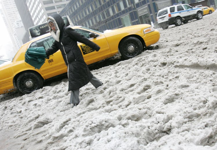
The NOAA report doesn't include snowfall. The outlook gives the likelihood that precipitation and temperature will hit the average, or be higher or lower, but even higher temperatures could still mean there will be snowstorms. According to the report, forecasting snow depends on the track and strength of the storm and isn't generally predictable until a week beforehand.
If you've been enjoying a milder fall in the Northeast, the glory of shorts in October might be coming to an end. According to Weather.com, it'll get colder in the next week in the Southeast and Midwest, before an even colder "blast" through the Plains, South and Rockies. And, then some parts of the Appalachian and northern Great Lakes could get some snowflakes.
While some parts of the country begin to prepare for snow and ice, some parts of the U.S. are still cleaning up after they were roiled by tropical storm season. From August through September, storms hit Texas, Florida, and Puerto Rico, causing flooding, displacing residents, and creating big challenges to infrastructure in some locations. After Hurricane Harvey hit Texas in late August, Houston has only just emptied its reservoirs of the floodwater. Meanwhile, nearly 80 percent Puerto Ricans are still without electricity, a month after the island was hit by Hurricane Maria.
If it seems like this year isn't stacking up to be so different from previous winters, that's because it's been warmer in general. According to Weather.com, last winter from 2016 to 2017 ranked as wetter and warmer for some parts of the country, while others had some of the coldest on record. Houston, in particular, saw the warmest weather on record, with an average of 61.5 degrees. Further northeast, Boston had its fifth-warmest winter, with an average temperature of 35.6 degrees (which actually sounds pretty cold, but it's all relative).
So, maybe it's not such a bad idea to keep that parka close by.